|
|
|||||||||||||
|
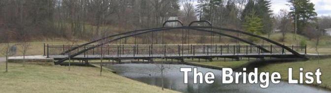
The Bridge List is a catalog of extant Ohio historic bridges and is intended as an accurate guide for use by bridge visitors and researchers. Click the Bridge List picture to go to the table. This page describes the content and organization of the Bridge List Table.
How a bridge gets on the list: the table includes all reportedly extant bridges of the appropriate type (metal truss) and time-period (pre-WWII) from the Ohio Bridge Inventories (see Bibliography) as well as bridges that have been discovered or compiled from other sources. How a bridge is identified: all bridges once in use on public roads have an Ohio DOT Structure File Number (SFN). A bridge may also have a common Name. When a bridge has neither a SFN or a known name, one is composed from that of the road, crossing or locale. How to tell the status of a bridge: an existing bridge may be in service on a public or private road, on exhibit, closed or abandoned. Bridges that have been removed or replaced are moved to the Lost Bridges list. Color Codes: private bridges are highlighted in orange, bridges moved to an exhibit site (including trails) or exhibited in place (bypassed) are in cyan, abandoned or closed bridges are in yellow. In addition, bridges in imminent danger of removal are flagged with a red Notes entry. How to find a bridge: the table entries are sorted by County. The Location column gives the roadway on which the bridge is situated and the Crossing column gives the feature traversed. Bridge locations are also specified in decimal Latitude and Longitude coordinates. How to get directions to a bridge: each entry in the Location column can be clicked to obtain a road-map showing the location of the bridge. Additionally, satellite, street-level, terrain views and driving directions to each bridge can be obtained through this link. How to see a picture of a bridge: if a photograph of the bridge is available the word "Photo" appears in the left column of the row. Click this link to see the picture of the bridge. In special cases the Reference entry may have a link to another picture of the bridge (links are commonly blue and underlined). How to get more information about a bridge: additional information about a bridge may be provided in the Reference column. For example, when a bridge has been documented by the Historic American Engineering Record the Reference listed is “HAER”, which serves as a link to extensive documentation of the bridge. The bibliography contains other sources of information about some of the bridges; these are referenced using the acronym indicated in boldface. |
|||||||||||||
 |
Can you
help? Click this
icon to see a listing of the bridges that are missing
photos or need a visit to confirm they still exist. Why not follow the
directions provided and visit some of
these bridges and share
your findings? |
||||||||||||
|
Bibliography The Ohio Bridge Inventory - 2006 (OBI), Inventory of all public bridges in Ohio. An EXCEL spreadsheet copy is available here (large). National Bridge Inventory Database (NBI), Alexander Svirsky. Online searchable bridge inventory derived from the Federal Highway Administration 2006 database of all US bridges on public roads. To conduct a bridge search click here. The 2005 Ohio Historic Bridge Inventory. This is essentially the OBI with the addition of evaluations of the historical significance of each bridge. The 2007 Ohio Historic Bridge Inventory. The latest Ohio historic bridge inventory includes historical evaluations of more recent bridges. An EXCEL spreadsheet copy can be obtained here. Bridges & Byways, Journal of the Ohio Historic Bridge Association (OHBA), edited by Miriam Wood. Further information about this journal may be obtained here. The Second Ohio Historic Bridge Inventory, Evaluation and Preservation Plan (OHBI). Describes select historic bridges built prior to 1951. Published in 1990 by Ohio DOT. A PDF version is available here. Ohio Historic Bridge Guide (OHBG), Bill Helsel, David Simmons and Miriam Wood. Published by the Ohio Historic Bridge Association (OHBA). Seventh Edition 1999/2000. This booklet can be obtained here. |
|||||||||||||